Description of itinerary
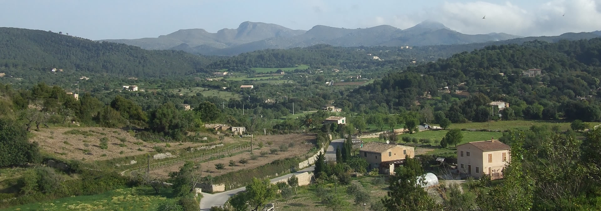
The hills of Artà are not very high when compared with those of the Tramuntana range but the fact that they're so close to the sea means that the view from the top is spectacular.
This excursion starts at Betlem and goes up to the Puig de Sa Tudosa, a summit that can be spotted from some distance because of the telecommunications masts on the top. It’s 441 metres above sea level, rising to this altitude from the sea in little more than 2 kilometres. This, and the fact that there's no path for a large part of the walk, makes it very interesting but a little difficult.
The walk includes the water systems of Es Barracar spring, an irrigation channel that carries water from the spring to the arable fields near the Houses of Barracar and which, at some point, passes over the stream in the form of an aqueduct. The stream itself has been adapted and paved with stone to make it easier for wagons.
The views from the top are magnificent and, on a clear day, you can even see the coastline of the island of Menorca. The downhill section passes through an area that takes us back to recent history, namely the Prisoners' Path, a feat of engineering achieved by military prisoners held at a camp (Military Camp) that was in operation between 1941 and 1942, once the Civil War had ended, which was used as a prison colony for around 900 Republican prisoners from the mainland. The prisoners built the road in exchange for a shorter sentence (hence its name, the Prisoners' Path).
The excursion can be finished off with a dip in the sea before returning to Betlem.
This route has been taken from the collection of excursions prepared and published by the hiking group "Un raig d’Artanencs".
Comments: There are two sections where walkers and riders should be more alert and not lose sight of the markers (a sign consisting of a pile of stones that indicates a path's direction from time to time) nor wander from the directions provided by the GPS, as there is no visible path. These two sections are: the ascent to the peak of Sa Tudosa (between km 2.2 and km 3.5) and the descent to Es Caló, between km 6 and km 7.5.